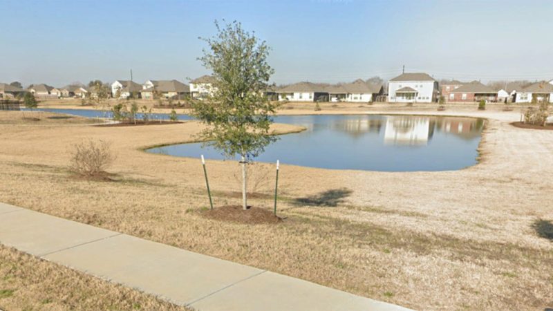
Odyssey Engineering Group prepared a hydrologic and hydraulic study of the 2,100-acre (3.3 sq.mi.) watershed for Big Creek Lateral II-B-7 in Central Fort Bend County, Texas. The study was performed in support of the 42-acre Still Creek Ranch Phase 1 single-family residential development located in a FEMA Special Flood Hazard Area Zone A, an approximate floodplain with no Base Flood Elevations determined. FEMA and County regulations required a detailed study of the watershed to establish Base Flood Elevations for the 2.5-mile-long Lateral II-B-7 channel. The study utilized LiDAR DEM data, supplemented with field survey data of the Lateral II-B-7 channel and the 42-acre site. HEC-GeoHMS software was used to delineate drainage sub-areas and determine drainage parameters within the watershed. Fort Bend County Drainage District criteria were used to calculate runoff hydrographs at key locations within the watershed for the 10-, 25- and 100-year, 24-hour storm event. HEC-GeoRAS software was used to create a geometric model of Lateral II-B-7, including significant overbank floodplain areas. HEC-HMS and HEC-RAS software was used to determine peak flows and Base Flood Elevations within the watershed, and to determine impacts and mitigation requirements for proposed floodplain fill associated with the development. Flood inundation maps were prepared for the pre-and post-development condition scenarios. In addition to the watershed-wide study, a detailed detention analysis was performed for the proposed on-site detention basin to mitigate the development.
Odyssey Engineering Group, LLC
2500 Tanglewilde St., Suite 300
Houston, TX 77063
Phone: (281) 306-0240
© Copyright 2012-2024 | Odyssey Engineering Group, LLC – All Rights Reserved – TBPE No. F-17637